ABOUT AQUA
Aqua, Latin for water, is a NASA Earth Science satellite mission named for the large amount of information that the mission is collecting about the Earth’s water cycle, including evaporation from the oceans, water vapour in the atmosphere, clouds, precipitation, soil moisture, sea ice, land ice, and snow cover on the land and ice. Additional variables also being measured by Aqua include radiative energy fluxes, aerosols, vegetation cover on the land, phytoplankton and dissolved organic matter in the oceans, and air, land, and water temperatures.
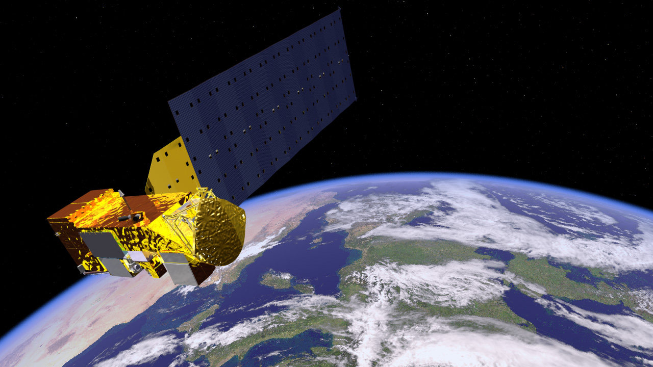
Aqua was launched on May 4, 2002, and has six Earth-observing instruments on board, collecting a variety of global data sets.
Aqua was the first member launched of a group of satellites termed the Afternoon Constellation, or sometimes the A-Train.
INSTRUMENTS ONBOARD
-
The Atmospheric Infrared Sounder (AIRS)- This instrument will be centred on measuring humidity, temperature, cloud properties, and the amounts of greenhouse gases throughout the atmosphere.
-
The Advanced Microwave Sounding Unit (AMSU-A)-This instrument will obtain temperature profiles in the upper atmosphere (especially the stratosphere) and will provide a cloud-filtering capability for tropospheric temperature observations.
-
The Clouds and the Earth’s Radiant Energy System (CERES)-This instrument will measure the Earth’s total thermal radiation budget, and, in combination with Moderate Resolution Imaging Spectroradiometer (MODIS) data, will provide detailed information about clouds.
-
The Humidity Sounder for Brazil (HSB)-The HSB is the instrument in the AIRS/AMSU-A/HSB suite that will allow humidity measurements even under conditions of heavy cloudiness and haze.
-
MODIS-MODIS is a 36-band spectroradiometer measuring visible and infrared radiation and obtaining data that will be used to derive products ranging from vegetation, land surface cover, and ocean chlorophyll fluorescence, to cloud and aerosol properties, fire occurrence, snow cover on the land, and sea ice cover on the oceans.
OUTCOMES
-
The AIRS/AMSU data have been used to connect changes in water vapour, temperature, and precipitation to the Madden-Julian Oscillation (MJO) and are helping to reveal new insights into the water-vapour/climate feedback.
-
AIRS/AMSU data have also been used to calculate and map several other prominent trace gases, including the second and third most abundant greenhouse gases, carbon dioxide (CO ) and methane, respectively, plus ozone, carbon monoxide, and sulphur dioxide.
-
AIRS/AMSU data have led to improved understanding of the impact of the Saharan Air Layer on hurricane formation and intensification, and an enhanced MODIS aerosol algorithm allows derivation of aerosol properties over bright reflecting surfaces, such as deserts.
-
By taking advantage of the strengths of both instruments, the AMSR-E and MODIS data together can be used to obtain enhanced overall results, for instance more accurate estimates of snow-water equivalent.
-
The MODIS NDVI and EVI data have been used in global biogeochemical and hydrologic modelling as well as for agricultural monitoring, land cover characterisation, and land cover change detection.
-
They have also been used to show large inter-annual variability in SST, a portion of which is related to El Niño and La Niña events, and to provide data for investigating climate feedback processes.